Description
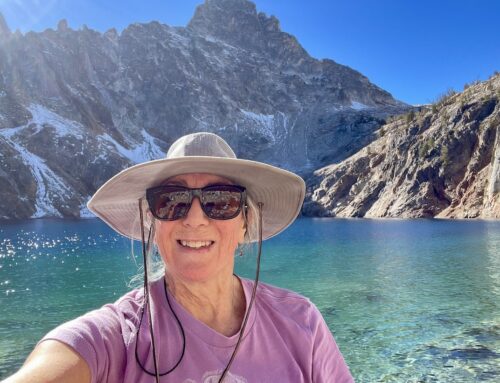
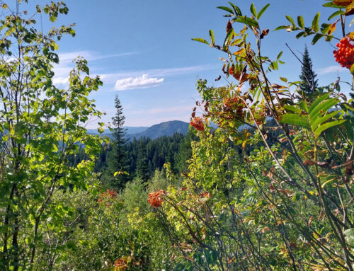
Climb through lush forests, of cedar, hemlock, alpine fir, and spruce to the beautiful Beehive Lakes, tucked into a high cirque basin in the Selkirk Crest. Hikers are rewarded with views of Roman Nose, The Beehive, Pack River, and Twin Peaks. Options for scrambles to the top of the Crest are also available, where even more spectacular views can be found.
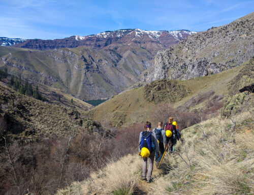
The trail begins on the east side of the upper Pack River and immediately crosses it. From the river, the trail ascends the hillside following gentle switchbacks. Views improve with every mile. Bottleneck Peak, Roman Nose, and The Beehive come into view. At approximately 4 miles, the trail reaches large slabs of granite outcroppings. Follow the cairns over the slabs to the upper lake.
There are grizzly bears in the Selkirk Mountains. Hikers are advised to take special precautions to avoid negative encounters with bears. The Forest Service installed a bear-proof food storage locker at the upper lake, where overnight campers may store their food.
Distance
4.5 miles (one way)
Elevation Gain
2,040 feet
Directions
From Sandpoint, drive north on U.S. Highway 95 for 10.5 miles, and turn left (west) onto the Pack River Road at Samuels. Drive 19 miles, following Forest Service signs toward Beehive Lakes, and turn left, driving a short distance off the main road to the trailhead.
Maps
Forest Service: Kaniksu National Forest
USGS Quad(s): The Wigwams, Roman Nose
Maintenance Report
ITA partnered with the Sandpoint Ranger District to brush out the Beehive Lakes Trail in August of 2011. In 2009, the Forest Service installed a new trail bridge across the Pack River.
Land Status
The Selkirk Crest is a proposed wilderness area.
Guidebooks
100 Hikes in the Inland Northwest by Rich Landers (2nd Edition, 2003)
Trails of the Wild Selkirks by Dennis Nicholls (2004)

[…] 4.5 miles (one way) Elevation gain: 2,040 feet https://idahotrailsassociation.org/2012/04/beehive-lakes/ […]