A WEEK IN THE WHITE CLOUD WILDERNESS
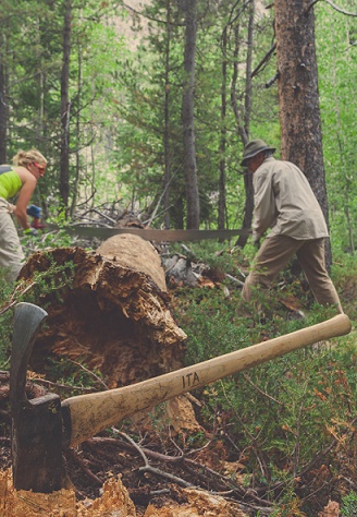
Peter Lovera the Idaho Conservation Leagues's 2015 Artist in Residence elegantly captured the 2015 Livingston Mill/Castle Divide trail work vacation that he volunteered on! His words and photos capture how a week of stewardship in Idaho's wilderness can change you and connect you to the wild. "Keep close to Nature's ... Read More


